History of Kirkby
Be part of the next chapter in our history
Kirkby-
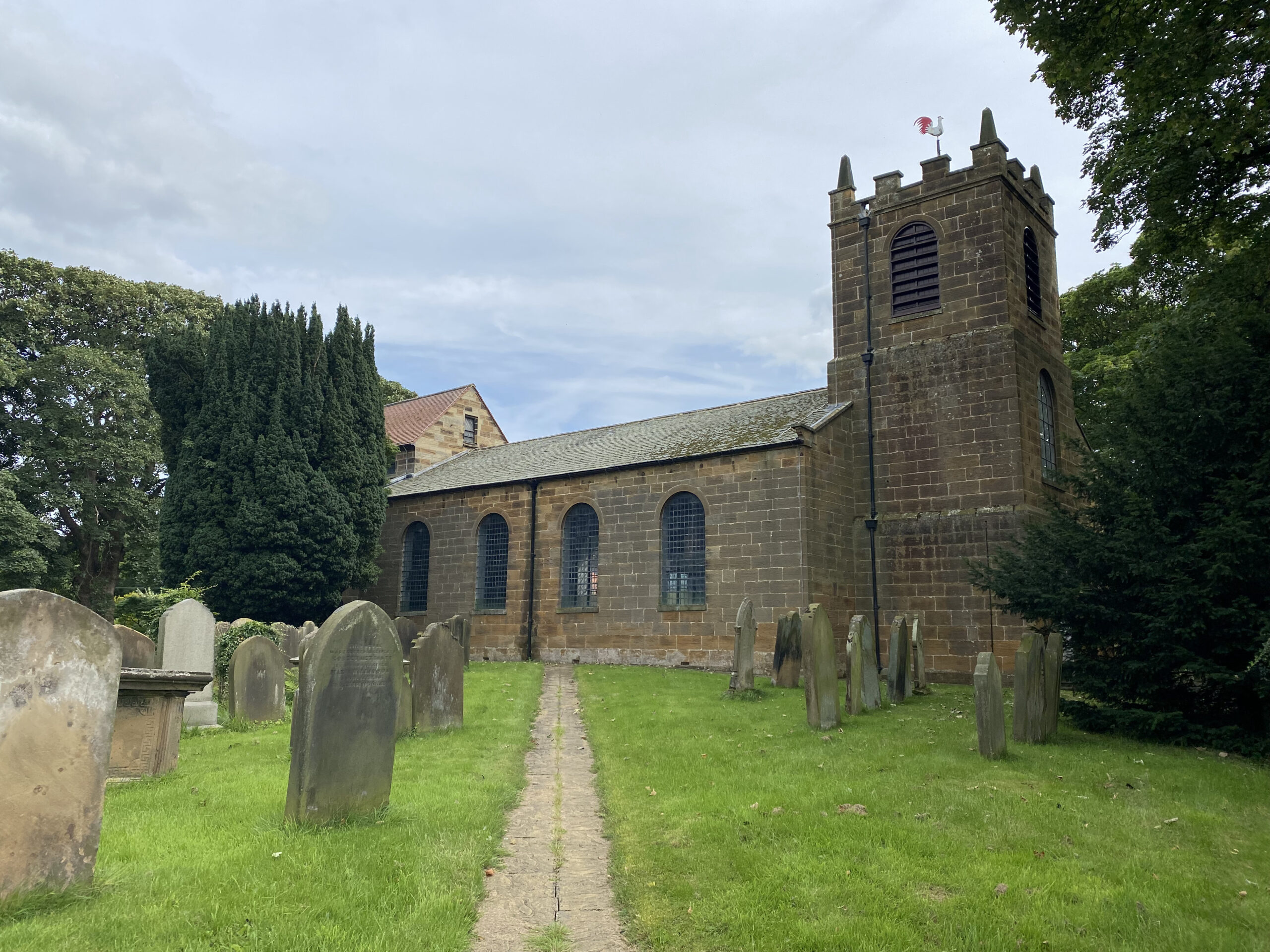
St. Augustine's Church
Excavations in 1951 located the presumed site of the original pre-
Repairs to the church yard wall in 2014 revealed the remains of a juvenile of about 10 years. Examination has dated the remains to 11th century. They were reinterred 2016. The church stands close to the crossing of two ancient roads, along which the modern Village has Developed.
Kirkby's Historic Routes
The route running approximately North – South between Stokesley and Helmsley, Station Road / Hill Road / Pannierman Way has been used over the years by monks at Rievaulx travelling to fish hatcheries at Worsall, as a pack horse route and as a quarry and mineral (jet and alum) road up to the 19th century.
Kirkby Lane/Busby Lane, running at right angles, linking all the villages at the foot of the Cleveland Hills, is part of the old highway from Northallerton to Whitby. The A172 is a relatively modern successor. Roman coinage was discovered in Hill road in the 19th century.
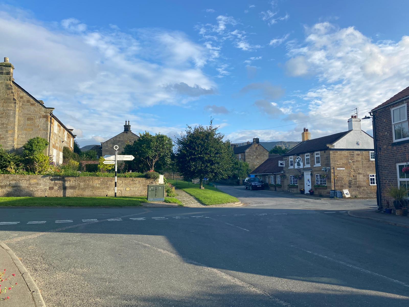
Location of Kirkby
The principal axis of the original Village is to the north and south of the crossroads. On this lie the oldest buildings, ranging from workers’ cottages to the pub (former smithy), schoolhouse and church, their importance being recognised as a designated Conservation Area. These properties for the main part were built in the 17th to the 19th centuries with infill building during the 20th century.
This group includes the listed St. Augustine’s Church (rebuilt in 1815) with its large country churchyard. The three small greens in the Village are all on this route, one at the very entrance to the Village, one immediately after the church yard in front of the Church Hill Cottages and the last and largest in front of the Old School House at crossroads.
Local History Group
Kirkby, Great Broughton and Ingleby Greenhow local history group aims to record the local history of the three villages and encourange interest and involvement in these matters within the villages. For more information about the area please click the logo above.